Key takeaways
- The Osterfjord is the system immediately north of the city, reached within minutes of leaving the harbour.
- A glacial trough drowned by rising sea level, which is why it is far deeper than a river valley of the same width.
- The walls steepen and close in the further in you travel, so the outward leg builds rather than opening with its best view.
- Farms, boathouses and small settlements line the shore, worked from the water long before any road reached them.
Where it is
The Osterfjord lies immediately north of Bergen, which is the single most useful thing about it for a visitor with limited time. You are into it within minutes of clearing the harbour, without the long transit that reaching the more famous fjords further north or east demands.
It wraps around Osteroy, one of the largest inhabited islands in Norway, and runs inland toward the mountains. The cruise takes the arm that leads to Mostraumen, which means the whole route is spent in genuine fjord rather than in the approaches to one.
How it was made
By ice, and comparatively recently. A fjord is a glacial valley drowned by the sea: ice hundreds of metres thick ground out a trough with steep walls and a broad floor, and when the ice retreated and global sea level rose, the sea flooded in behind it.
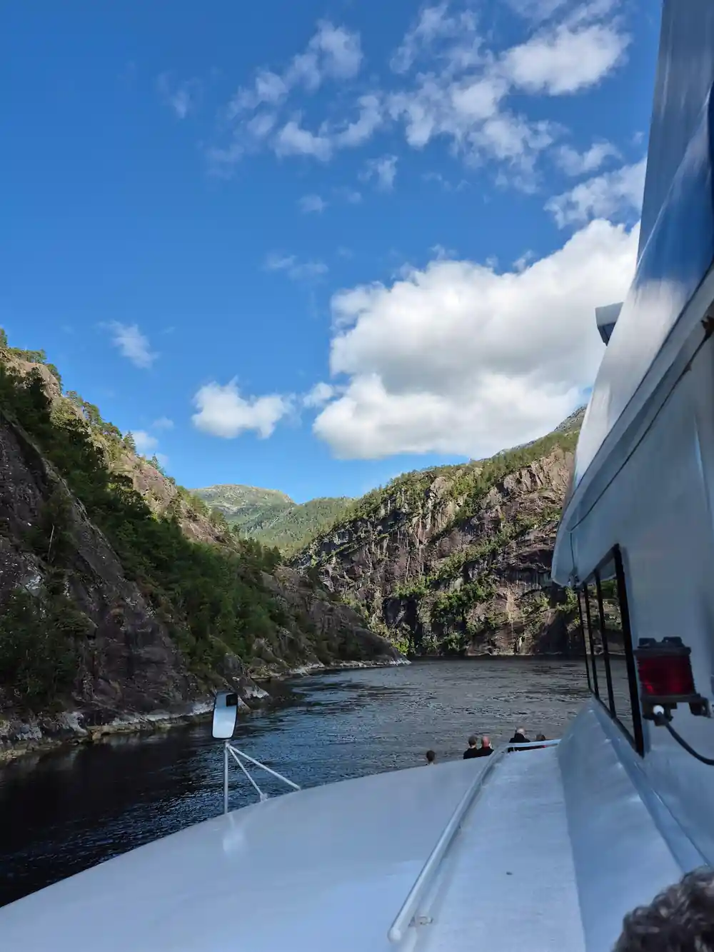
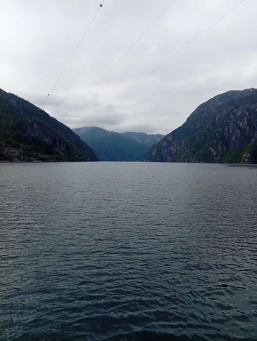
The shape gives it away from the deck. A river cuts a V, wearing downward at the lowest point of its channel. A glacier scours the floor and both sides at once and leaves a U, and once you have seen the difference you cannot stop reading it in the profile of every valley you pass.
The Osterfjord narrowing between steep wooded walls
Why it is so deep
Because a glacier has no reason to stop grinding at sea level. It keeps cutting for as long as it is moving, which is why fjord basins routinely lie hundreds of metres below the surface, often deeper than the coastal shelf just outside the mouth.
There is usually a shallower sill at the entrance where the ice finally lost power and dropped the rock it had been carrying. That bar is what makes fjord water behave the way it does, trapping cold dense water in the basin behind it and keeping the deeps cold, dark and stable all year.
Why the drama increases inland
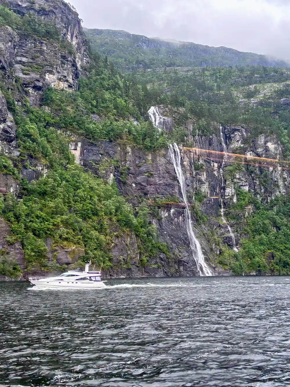
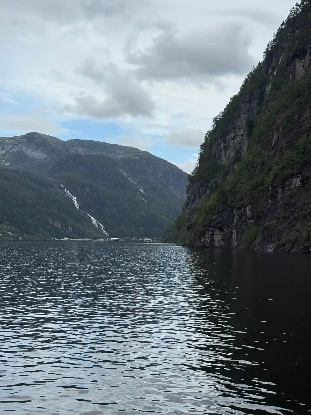
This is the thing that makes the outward leg work as a piece of storytelling rather than just a transit. Near Bergen the shores are settled and comparatively gentle. As you travel north the ground rises, the walls steepen, the settlements thin and the water narrows.
The reason is glacial. Ice was thickest and most confined further inland, so it cut hardest there, and the valley it left is correspondingly tighter and steeper. The landscape is not being arranged for your benefit; you are simply travelling up the gradient of how hard the ice worked.
U-shaped
The signature of a glacial valley: ice scours the floor and both walls at once, where a river only cuts downward at its lowest point.
The farms on the shoreline
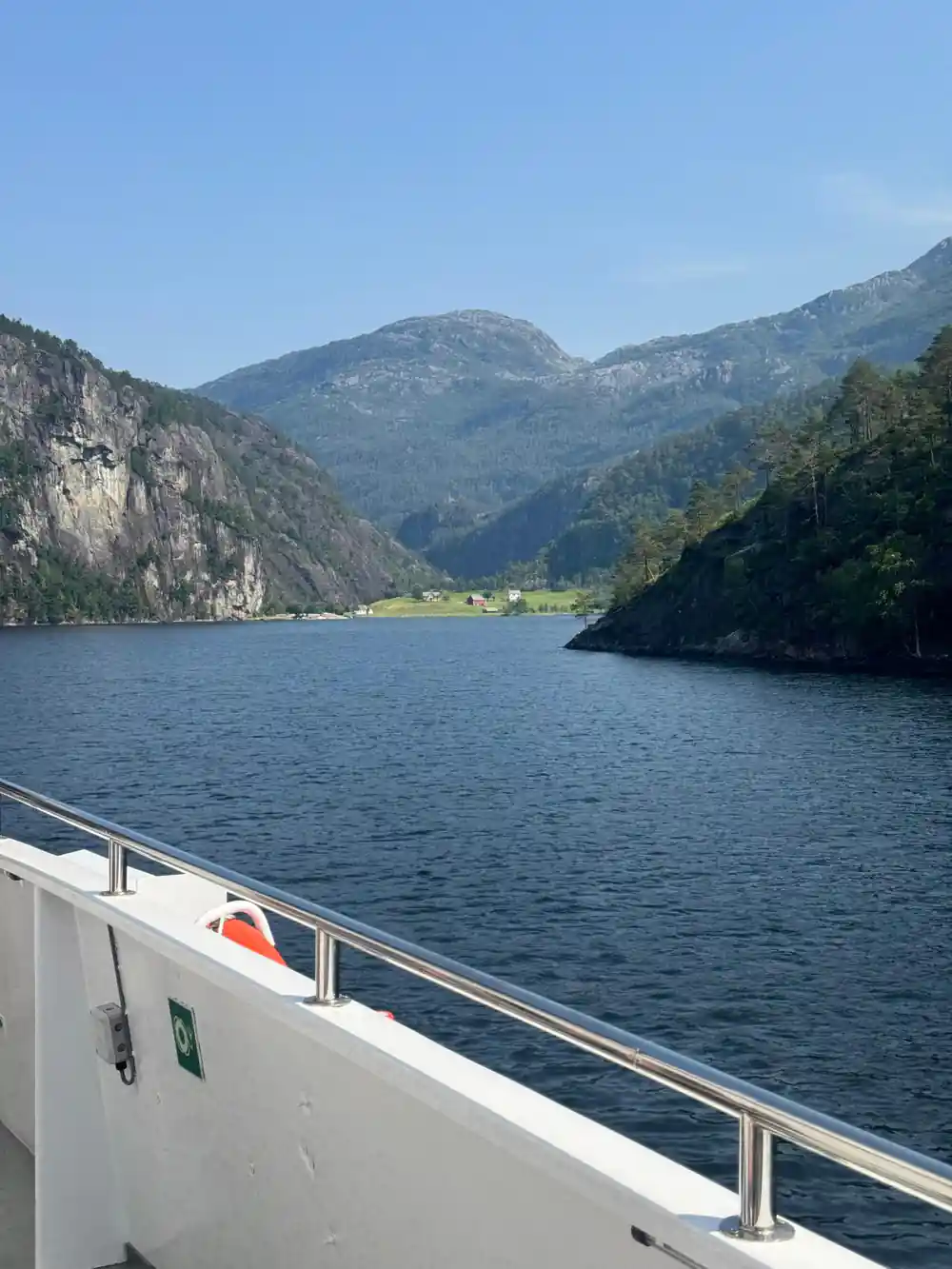
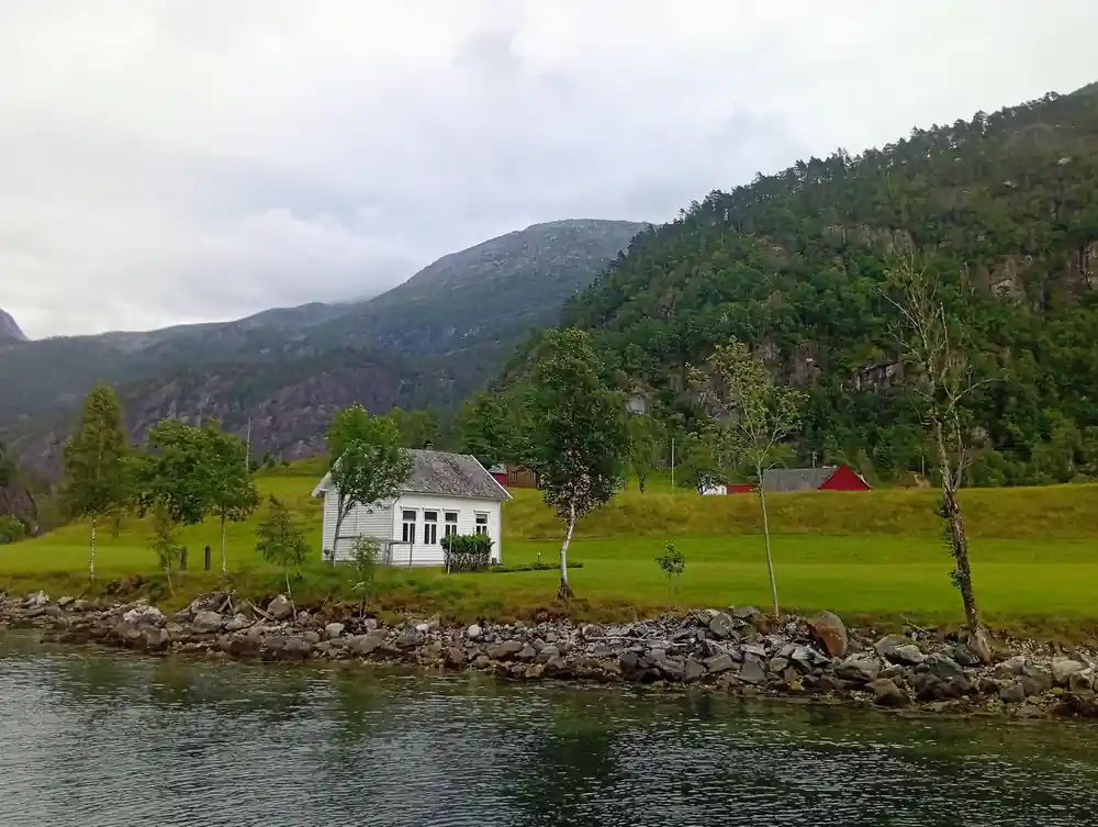
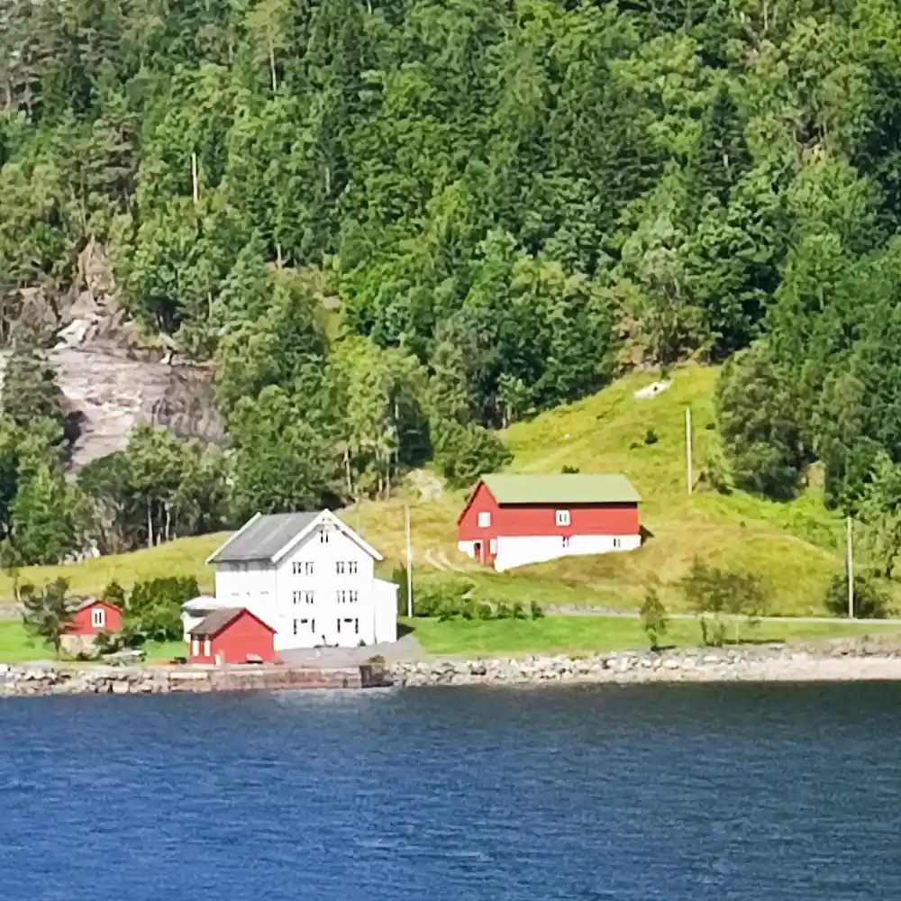
Look at the green flats along the water and you will notice they are all small, all steep-backed and all at the waterline. Those are the only places on a fjord where anything can be farmed, and they have been worked for a very long time.
Some of them have no road even now, or acquired one within living memory. For most of their history the water was the road: everything arrived and left by boat, children rowed to school, and a farm's relationship with the world ran through its own boathouse. The red and white buildings you photograph from the deck are the physical remains of that arrangement.
The water itself
Fjord water is layered, which is why it can look so extraordinarily still. Fresh water from rivers and snowmelt sits on top of denser salt water underneath, and that stratification damps down the surface in a way open sea never manages.
The practical result is the mirror effect that fills so many photographs of this trip: mountains reflected whole, with the join barely visible. It is also why the change at Mostraumen is so striking. Still layered water gives way to a moving current, and the surface stops behaving like glass.
How it compares with Sognefjord and Naeroyfjord
Honestly, and the comparison is worth making because visitors ask. The Sognefjord system further north is longer, deeper and more famous, and the Naeroyfjord branch within it is a UNESCO site and genuinely spectacular. If you have a full day and want the most dramatic fjord in the country, that is where to go.
What the Osterfjord offers instead is proximity. You are in it minutes after leaving a city quay, you reach a genuine tidal narrows and back inside three and a half hours, and you do it on a scheduled boat rather than a package of trains and transfers. For a visitor with one day in Bergen it is the fjord that actually fits.
There is a further argument for the closer fjord that has nothing to do with convenience. The famous ones are famous, which means coaches, cruise tenders and a schedule shared with several thousand other people at the same viewpoints. The Osterfjord carries scheduled sightseeing traffic and working boats and not a great deal else. You pass farms rather than gift shops, and the shoreline you photograph is somebody who lives there rather than an attraction arranged for you. For a certain kind of traveller that is not a consolation prize but the actual preference. The famous fjords are worth their fame; this one is worth the afternoon you actually have.